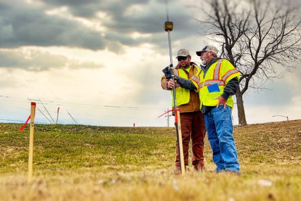
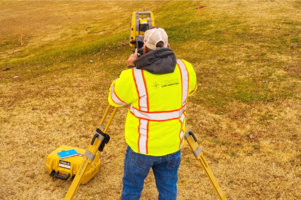
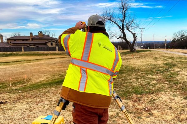
Lemke Land Surveying has been providing surveying services to public and private clients since our start in 1994. Lemke’s surveyors and technicians are experienced in providing survey services to many different project sectors.
Have a project?
Photogrammetry Services
Lemke’s capabilities include the procurement and processing of high-resolution imagery, airborne LIDAR, and digital orthophotography.
Our professional staff photogrammetrist generates correct, real-time data derived to produce orthophotography, digital terrain models (DTMs), topographic mapping, digital elevation models (DEMs), planimetric feature extraction, volume calculations, and centerline mapping.
Lemke has the latest photogrammetric mapping equipment and software available. Orthophotography images are processed to develop a corrected photographic image.
In cases of large sites, the ortho photos are tiled together to present one overall image. These can be inserted into different software programs such as GIS and CAD with the geospatial location intact.
Locations & Contact Information
We want to hear from you — one of our principals will be happy to discuss your needs. Please call one of our locations below to schedule a consultation.
Norman, OK
Address:
3226 Bart Conner Drive
Norman, OK 73072
Oklahoma City, OK
Address:
14101 Wireless Way, Suite 350
Oklahoma City, Oklahoma 73134
Tulsa, OK
Address:
8622 S. Peoria Ave.
Tulsa, OK 74132
Have questions? Contact us.
One of our principals will be happy to discuss your needs.
About
Lemke Land Surveying, Inc. was established in 1994. Lemke currently holds offices in Norman, Oklahoma and Tulsa, Oklahoma and employs over 50 staff members.
